Log in
All resources
Create a design
409 Free Images of Maps Of Voyages
orientalist painting
voyage à travers l'amérique du sud (1869)
henry cooper (engraver)
john outhett
maps by jakob van der schley
jakob van der schley
voyages and travels to india, ceylon, the red sea, abyssinia, and egypt, vol. 3
old maps of ethiopia
a voyage to abyssinia, and travels into the interior of that country, executed under the orders of the british government in the years 1809 & 1810
picturesque journey to the two americas, asia and africa
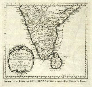
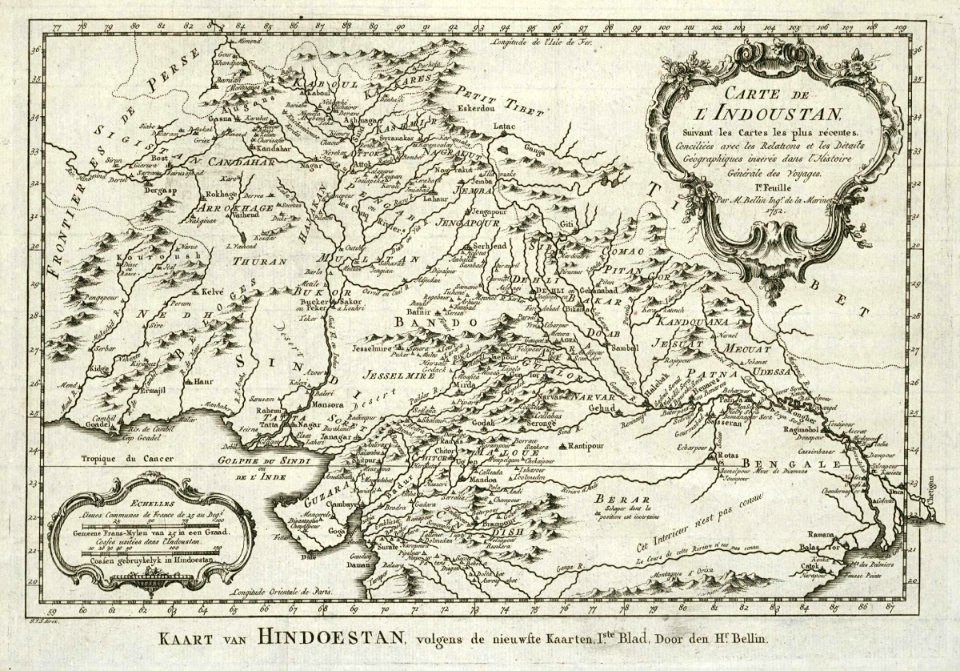
maps of the dutch east india company - india
1755 maps
1870s maps of the caucasus
g. h. swanston
maps of the dutch east india company - thailand
old maps of the dutch east india company
old maps of austria
1695 books
18th-century maps of the indian ocean
18th-century maps of southeast asia
voyages and travels to india, ceylon, the red sea, abyssinia, and egypt, vol. 3
henry cooper (engraver)
voyages and travels to india, ceylon, the red sea, abyssinia, and egypt, vol. 3
henry cooper (engraver)
pierre lacour (voyage à rome, tome ii)
lake geneva in art
old maps of alexandria
louis-françois cassas
voyage pittoresque autour du monde (1822) by louis choris
wotje atoll
voyage pittoresque autour du monde (1822) by louis choris
wotje atoll
maps by edward wright
molyneux globes
maps from the earth and its inhabitants, vol. xviii
maps of the conquest of peru
voyage pittoresque autour du monde (1822) by louis choris
old maps of the pacific ocean
voyages and travels to india, ceylon, the red sea, abyssinia, and egypt, vol. 3
henry cooper (engraver)
orientalist painting
1860s maps of peru
ghosts & ghoulish scenes
old maps of syracuse
pierre-adrien pâris
navigantium atque itinerantium bibliotheca
1744 fleurons
a voyage to abyssinia, and travels into the interior of that country, executed under the orders of the british government in the years 1809 & 1810
1810 maps of ethiopia
old maps of st. augustine, florida
john white (colonist and artist)
maps by emanuel bowen
1744 fleurons
atlas - voyage pittoresque à l'île-de-france, au cap de bonne-espérance et à l'île de ténériffe (1812) by milbert
maps from the mechanical curator collection
atlas - voyage pittoresque à l'île-de-france, au cap de bonne-espérance et à l'île de ténériffe (1812) by milbert
maps from the mechanical curator collection
a voyage to abyssinia, and travels into the interior of that country, executed under the orders of the british government in the years 1809 & 1810
john outhett
voyages and travels to india, ceylon, the red sea, abyssinia, and egypt, vol. 2
henry cooper (engraver)
maps of the dutch east india company - korea
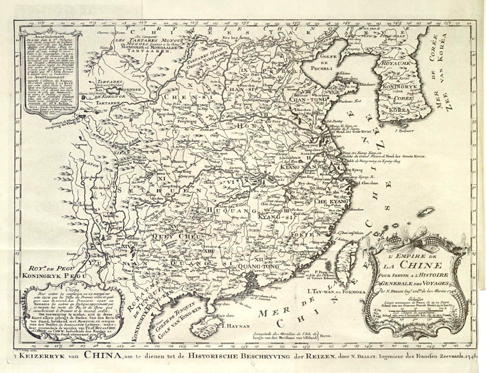
maps of the dutch east india company - china
maps of the dutch east india company - india
1755 maps
19th-century maps of crimea
g. h. swanston
a voyage to abyssinia, and travels into the interior of that country, executed under the orders of the british government in the years 1809 & 1810
john outhett
a voyage to abyssinia, and travels into the interior of that country, executed under the orders of the british government in the years 1809 & 1810
john outhett
a voyage to abyssinia, and travels into the interior of that country, executed under the orders of the british government in the years 1809 & 1810
1810 maps of ethiopia
picturesque journey to the two americas, asia and africa
lima in the 1840s
voyage de découvertes aux terres australes
old maps of australia
voyage pittoresque en asie et en afrique
1839 maps of africa
voyages and travels to india, ceylon, the red sea, abyssinia, and egypt
blank back covers of books
1869 maps of south america
orientalist painting
voyage à travers l'amérique du sud (1869)
orientalist painting
old maps of the amazon river
orientalist painting
old maps of the amazon river
orientalist painting
old maps of amazonas (brazil)
orientalist painting
old maps of the amazon river
orientalist painting
old maps of the amazon river
orientalist painting
old maps of the amazon river
orientalist painting
old maps of the amazon river
orientalist painting
old maps of the amazon river
orientalist painting
1860s maps of south america
orientalist painting
18th-century maps of antarctica
1741 maps
1740s maps of the united kingdom
maps in the british museum
atlas - voyage pittoresque à l'île-de-france, au cap de bonne-espérance et à l'île de ténériffe (1812) by milbert
maps from the mechanical curator collection
columbus kristóf élete és amerika felfedezése (ferdinand colon)
atlantic ocean
voyages and travels to india, ceylon, the red sea, abyssinia, and egypt, vol. 2
henry cooper (engraver)
maps by edward wright
molyneux globes
a voyage to abyssinia, and travels into the interior of that country, executed under the orders of the british government in the years 1809 & 1810
john outhett
1870s maps of the caucasus
g. h. swanston
1870s maps of the caucasus
g. h. swanston
picturesque journey to the two americas, asia and africa
1842 in bolivia
picturesque journey to the two americas, asia and africa
1842 in bolivia
picturesque journey to the two americas, asia and africa
1842 in bolivia
picturesque journey to the two americas, asia and africa
potosí
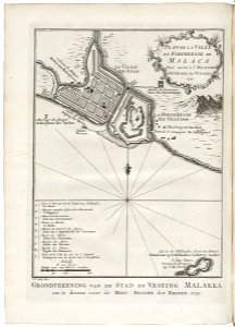
old maps of the dutch east india company - malaysia
1753 maps
maps by emanuel bowen
1744 fleurons
maps by willem and johannes blaeu
1610s maps of the americas
old maps of iran
voyage en perse
voyages and travels to india, ceylon, the red sea, abyssinia, and egypt, vol. 3
henry cooper (engraver)
voyage pittoresque ou description des royaumes de naples et de sicile
views of syracuse by claude-louis châtelet
picturesque journey to the two americas, asia and africa
1842 in bolivia
charts and maps of the royal museums greenwich
1590 maps
the annals of the voyages of the brothers zeno (1898)
fra mauro map derivative works
voyages and travels to india, ceylon, the red sea, abyssinia, and egypt, vol. 3
james tyrer
voyages de la commission scientifique du nord, en scandinavie, en laponie, au spitzberg et aux feröe
old maps of svalbard
voyages and travels to india, ceylon, the red sea, abyssinia, and egypt, vol. 3
henry cooper (engraver)
la hongrie de l'adriatique au danube. impressions de voyage (1883)
1880s maps of austria-hungary
la hongrie de l'adriatique au danube. impressions de voyage (1883)
1880s maps of austria-hungary
magasin d'éducation et de récréation
drawings by léon benett
old maps of southeast asia
jacobus van der schley
maps by jakob van der schley
old maps of southeast asia
voyage pittoresque en grèce et dans le levant (1867)
maps of piraeus
voyages and travels to india, ceylon, the red sea, abyssinia, and egypt, vol. 3
henry cooper (engraver)
picturesque journey to the two americas, asia and africa
mines in chile
historie van indien
de bry family
voyages and travels to india, ceylon, the red sea, abyssinia, and egypt, vol. 2
henry cooper (engraver)
voyages and travels to india, ceylon, the red sea, abyssinia, and egypt, vol. 2
henry cooper (engraver)
voyage au levant (cornelis de bruijn)
cornelis de bruijn
nypl general research division
voyage en perse
old maps of viceroyalty of the caucasus
19th-century maps of crimea
van langren map of southeast asia
renaissance
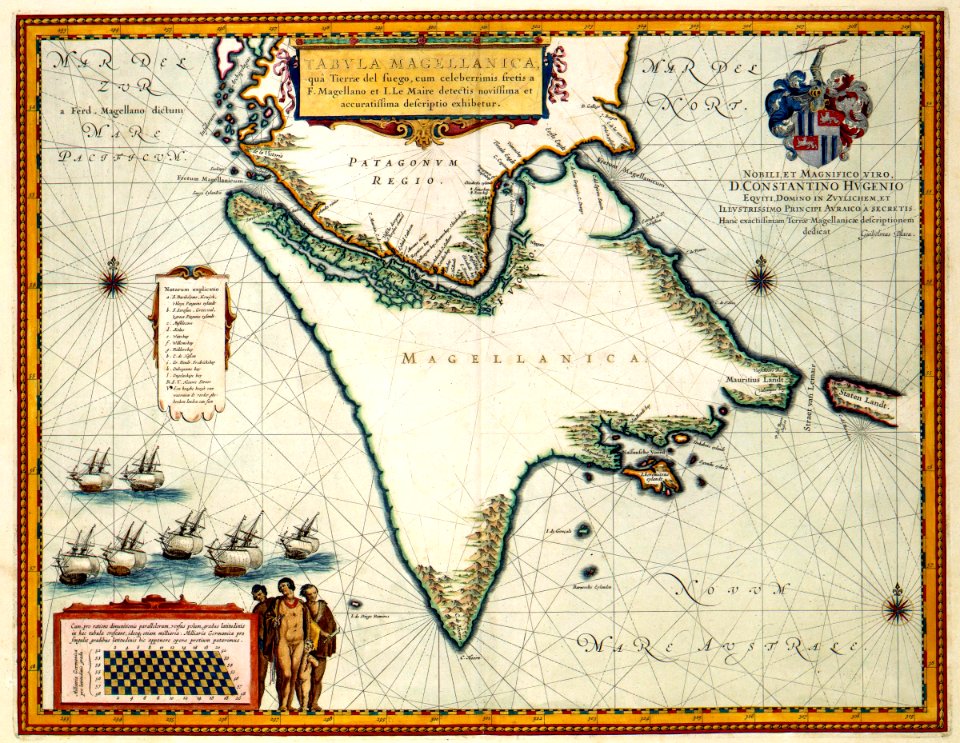
jacob le maire
1635 maps
picturesque journey to the two americas, asia and africa
puebla in art
maps by jakob van der schley
old maps of southeast asia
maps of circumnavigations of the world
1740s maps of the world
a voyage to abyssinia, and travels into the interior of that country, executed under the orders of the british government in the years 1809 & 1810
john outhett
military history of goa
theodor de bry
maps by jakob van der schley
old maps of southeast asia
voyages and travels to india, ceylon, the red sea, abyssinia, and egypt, vol. 3
henry cooper (engraver)
a voyage to abyssinia, and travels into the interior of that country, executed under the orders of the british government in the years 1809 & 1810
john outhett
chromolithographs in the british museum
durand-brager
maps from the earth and its inhabitants, vol. xiv
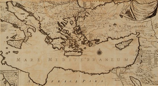
maps of voyages
l'expédition du tegetthoff (1878)
maps of franz joseph land
l'expédition du tegetthoff (1878)
old maps of the arctic ocean
101 - 200 of 409
Next page
/ 5